
Mapping Technology for Understanding Border Areas
Border areas are often complex and dynamic regions, characterized by unique social, economic, and environmental conditions. Understanding these areas is crucial for effective governance, security, and development initiatives. Mapping technology plays a vital role in providing detailed and up-to-date information about border regions, enabling informed decision-making and targeted interventions.
The Importance of Mapping Border Areas
Mapped data offers invaluable insights into border areas, aiding in:
- Security: Monitoring and managing cross-border activities, detecting smuggling routes, and identifying potential security threats.
- Infrastructure Planning: Assessing the need for roads, bridges, and other infrastructure to facilitate trade and connectivity.
- Resource Management: Monitoring natural resources, such as water and forests, to prevent illegal exploitation and promote sustainable use.
- Disaster Management: Planning for and responding to natural disasters, such as floods and earthquakes, that can disproportionately impact border communities.
- Socio-Economic Development: Identifying areas of poverty, unemployment, and lack of access to essential services to target development interventions.
Types of Mapping Technologies Used
Various mapping technologies are employed to gather data and create maps of border areas, each with its strengths and limitations:
- Satellite Imagery: Provides a broad overview of the landscape, allowing for the identification of land cover changes, infrastructure development, and illegal activities.
- Geographic Information Systems (GIS): Integrates various data sources, such as satellite imagery, aerial photography, and ground surveys, to create comprehensive maps and perform spatial analysis.
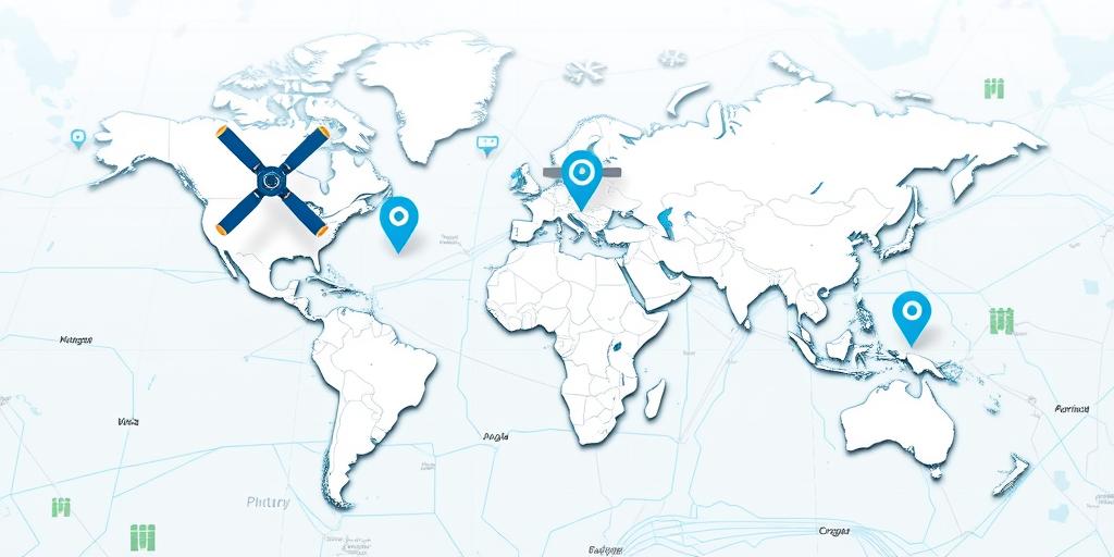
- Unmanned Aerial Vehicles (UAVs) or Drones: Offer high-resolution imagery and video, enabling detailed monitoring of specific areas and infrastructure.
- LiDAR (Light Detection and Ranging): Creates highly accurate 3D models of the terrain, useful for infrastructure planning, natural resource management, and disaster assessment.
- GPS (Global Positioning System): Enables precise location tracking for ground surveys, infrastructure mapping, and monitoring of mobile assets.
Applications of Mapping Technology in Border Areas
Mapping technology is applied in various sectors to address specific challenges and opportunities in border areas:
- Border Security: Monitoring border crossings, detecting illegal activities, and improving border patrol operations.
- Customs and Trade: Facilitating trade by mapping transportation routes, identifying bottlenecks, and improving customs procedures.
- Environmental Monitoring: Tracking deforestation, monitoring water resources, and assessing the impact of climate change.
- Humanitarian Assistance: Planning and delivering aid to border communities affected by conflict, displacement, or natural disasters.
- Cross-Border Cooperation: Facilitating cooperation between neighboring countries on issues such as security, trade, and environmental management.
Challenges and Future Directions
Despite its potential, the use of mapping technology in border areas faces several challenges:
- Data Availability: Lack of up-to-date and accurate data, especially in remote or politically sensitive areas.
- Technical Capacity: Limited technical expertise and infrastructure to collect, process, and analyze spatial data.
- Data Sharing: Difficulties in sharing data between different agencies and countries due to security concerns and lack of interoperability.
- Privacy Concerns: Concerns about the potential misuse of spatial data for surveillance and other purposes.
Future directions for mapping technology in border areas include:
- Improved data collection: Using advanced sensors and platforms to collect more accurate and timely data.
- Enhanced data analysis: Developing new algorithms and tools to extract meaningful insights from spatial data.
- Increased data sharing: Establishing data sharing agreements and protocols to facilitate cross-border cooperation.
- Strengthened privacy protections: Implementing safeguards to protect the privacy of individuals and communities.
By addressing these challenges and embracing future directions, mapping technology can play an even greater role in promoting security, development, and cooperation in border areas.


