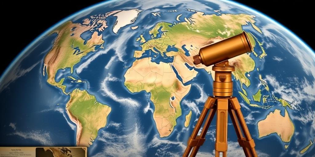
The History of Land Surveying and Border Creation
Land surveying, the technique and science of accurately determining the terrestrial or three-dimensional positions of points and the distances and angles between them, has played a pivotal role in shaping human civilization. Its history is deeply intertwined with the creation of borders, property rights, and the very organization of societies. This post explores the fascinating evolution of land surveying and its profound impact on border creation.
Ancient Origins
The roots of land surveying can be traced back to ancient civilizations. The earliest evidence comes from ancient Egypt, where the annual flooding of the Nile River necessitated the re-establishment of land boundaries. Egyptian surveyors, known as rope-stretchers, used basic tools like ropes and plumb bobs to redefine property lines after the floods receded. Their work was essential for agriculture and taxation, laying the groundwork for more advanced surveying techniques.
In Mesopotamia, the cradle of civilization, surveying was equally crucial. The Babylonians developed sophisticated methods for measuring land, using tools like the groma, an early surveying instrument. Their meticulous records and surveying practices influenced subsequent civilizations, including the Greeks and Romans.
Advancements in Classical Antiquity
The Greeks made significant contributions to surveying through their advancements in geometry and mathematics. Thinkers like Euclid developed principles that formed the basis of surveying calculations. The Romans, renowned for their engineering prowess, used surveying extensively in the construction of roads, aqueducts, and urban planning. Roman surveyors, or agrimensores, employed tools like the libra (a leveling instrument) and the chorobates (a device for measuring angles) to ensure precision in their projects. Their surveying practices were standardized and documented, spreading throughout the Roman Empire.
The Medieval Period
During the medieval period, land surveying continued to evolve, although progress was slower compared to classical antiquity. Monasteries and feudal estates often maintained their own surveyors to manage land holdings and resolve boundary disputes. The development of the magnetic compass provided a new tool for determining direction, improving the accuracy of surveys over longer distances. However, surveying practices remained largely localized and varied across different regions.
The Renaissance and Scientific Revolution
The Renaissance marked a turning point in the history of land surveying. The rediscovery of classical knowledge and the rise of scientific inquiry led to significant advancements in surveying instruments and techniques. The invention of the telescope in the early 17th century revolutionized surveying by allowing for more accurate sightings over greater distances. Surveyors like Gemma Frisius and Tycho Brahe made important contributions to the development of surveying methods and instruments. The introduction of triangulation, a technique for determining the location of points by measuring angles to them from known points, further enhanced the precision of surveying.
The Age of Exploration and Colonization
The Age of Exploration and Colonization brought land surveying to the forefront as European powers sought to map and claim territories around the world. Surveyors played a crucial role in defining colonial boundaries and establishing land ownership. The development of the theodolite, a versatile instrument for measuring both horizontal and vertical angles, greatly improved the accuracy and efficiency of surveying in the field. The work of surveyors during this period had profound geopolitical consequences, shaping the map of the world and influencing the distribution of power.
Modern Surveying
The 19th and 20th centuries witnessed rapid advancements in land surveying technology. The invention of the electronic distance measurement (EDM) instruments in the mid-20th century allowed for precise measurement of distances using electromagnetic waves. The development of satellite-based positioning systems, such as GPS (Global Positioning System), revolutionized surveying by providing accurate coordinates anywhere on Earth. Today, surveyors use a wide range of tools, including total stations, laser scanners, and drones, to collect data and create detailed maps and models of the Earth's surface.
The Impact on Border Creation
Land surveying has played a critical role in the creation and demarcation of borders throughout history. From the ancient Egyptians redefining property lines after the Nile floods to modern surveyors using GPS to establish international boundaries, the principles and techniques of surveying have been essential for defining territorial limits. The accuracy and impartiality of surveying are crucial for resolving border disputes and maintaining peace and stability between nations.
Conclusion
The history of land surveying is a testament to human ingenuity and the enduring need to understand and manage our environment. From its humble beginnings in ancient civilizations to its sophisticated applications in the modern world, surveying has shaped the course of history. As technology continues to advance, the role of land surveying in border creation and land management will remain as vital as ever.


